- Home
- Nepal
- Adventure Activities
- Peak Climbing
- Mountain Expedition
- Local Tours
- Sirubari Village Homestay
- Ghale Gaun
- Kalinchowk Tour
- Halesi Mahadev - Maratika Cave package
- Chitwan Jungle Safari
- Day tour in Kirtipur
- Day tour in Kathmandu City
- Spiritual Tour to Muktinath
- Chitlang and Kulekhani
- Bardiya National Park
- Jeep Tour to Rara Lake
- Gosaikunda Lake
- Manakamana day Tour with cable-car ride
- 4WD Jeep Tour to Upper Mustang
- Family Holidays
- Heli & Mountain Flights
- Trekking Routes
- Kailash Mansarovar
- Bhutan
- Tibet
- Multi Country
- Domestic Flights
- Contact
- Home
- Nepal
- Trekking Routes
- Trek to Mount Everest
Trek to Mount Everest
Sagarmatha National Park, Established: 1976, Area (km2): 1148.00, Buffer Zone (km2): 275.00
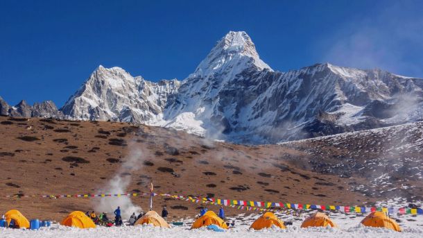
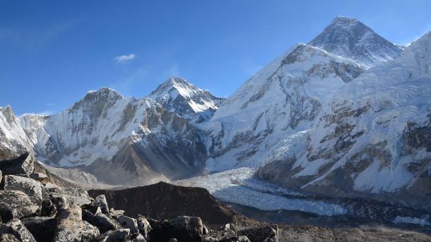
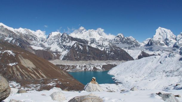
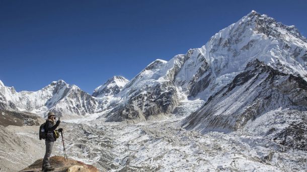
Sagarmatha (Mt. Everest) National Park is spread over an area of 1,148 sq, km in 1976, of the Himalayan ecological zone in the Khumbu region of Nepal. The Park includes the upper catchments areas of the Dudhkoshi and Bhotehoshi Rivers and is largely composed of rugged terrain and gorges of the high Himalayas, ranging from 2,845m at Monjo to the top of the world's highest Himal - Sagarmatha at 8,848m above the sea level. Other peaks above 6,000m are Lhotse, Cho Oyu, Thamserku. Nuptse, Amadablam and Pumori, The famed Sherpa people, whose lives are interwoven with the teachings of Buddhism, live in the region. The renowned Tengboche and other monasteries are common gathering places to celebrate religious festivals such as Dumje and Mane Rumdu. In addition to Tengboche, Thame, Khumjung and Pangboche are some other famous monasteries. For its superlative natural characteristics, UNESCO listed SNP as a World Heritage Site in 1979.
Flora and Fauna: The vegetation found at the lower altitude of the park include pine and hemlock forests, while fir, juniper, birch and rhododendron, scrub and alpine plant communities are common at the higher altitude. The park is home to the red panda, snow leopard, musk deer, Himalayan tahr, marten, Himalayan mouse hare (pika) and over 118 species of bird including the Impeyan pheasant, snow cock, blood pheasant, red billed cough etc.
Select your adventure
Visit us
-
JP Marga, Thamel, Kathmandu, Nepal
-
+977-01-5365371
-
+977 98418-15039
(Whats App, Viber & Telegram)
